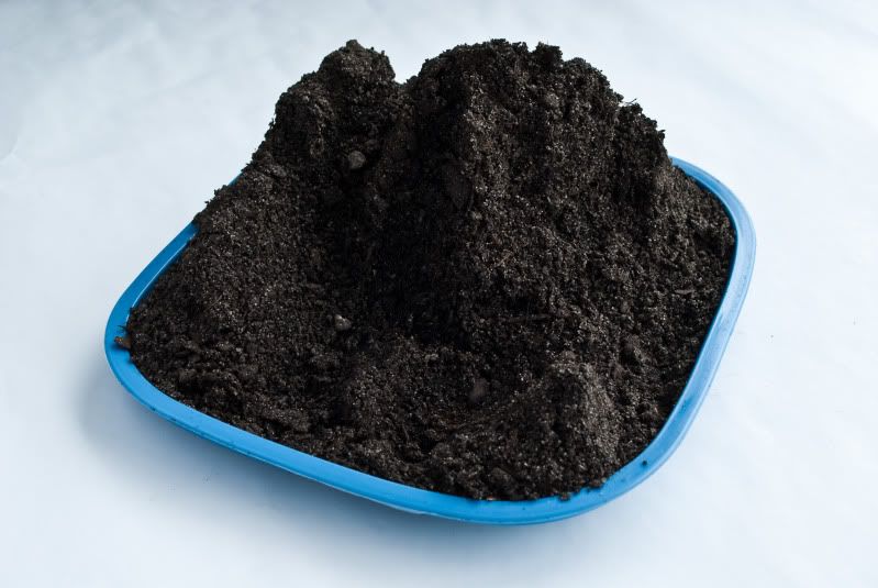
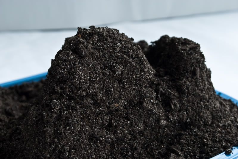
According to my calculations, the proportions meant that each layer of the map I was constructing should have been a half centimeter. I started by constructing the map layer by layer, each layer being a half cm and in the corresponding shape. I used my hands and spoons to do this. I got to about the eighth layer when I found that the lines of the topographical map were too close together to do this reasonably, so then I mounded the dirt on itself until it was the proper height in all the areas then I carved it away and pressed it, using a spray bottle to make it more malleable. This was very tedious and the potting soil was very fragile. After a lot of patience I got all of the details, perfectly measured, translated in the mounds of dirt, including the 5cm deep canyon, 10cm high mountains, and 8.5 cm ridge along with all of the other features. I thought the piece was fragile, since when it was when I was working on it, but when I went to destroy it, I had to work pretty hard to break it.


No comments:
Post a Comment